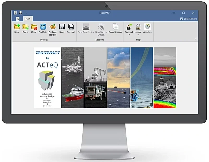
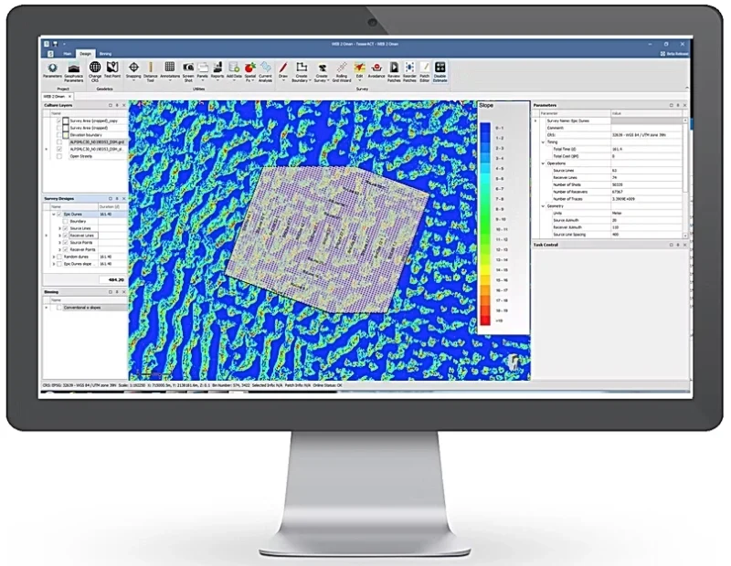
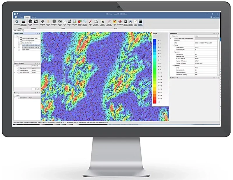
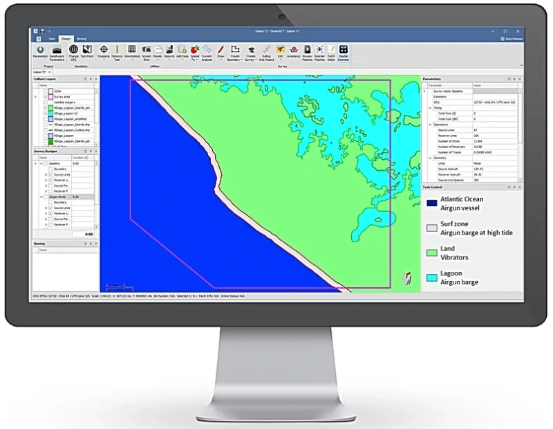
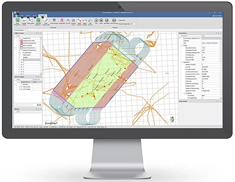
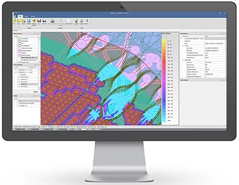
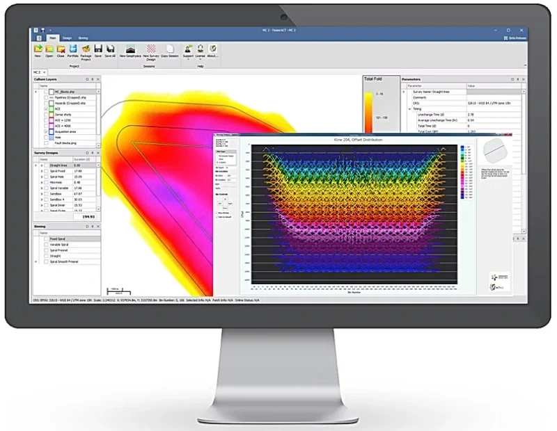
TesserACT provides survey design and optimization across the full spectrum of seismic survey projects.
Survey Planning, Design, and Optimization for all of your on-shore, offshore and borehole survey needs, and can incorporate Compressive Sensing techniques and Z-Design 3D ray tracing.
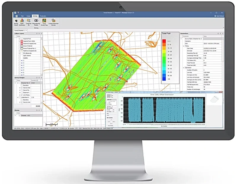
ACT-Adequately Constructed Time ensures adequate sampling of the Fresnel zone and allows 5D reconstruction.
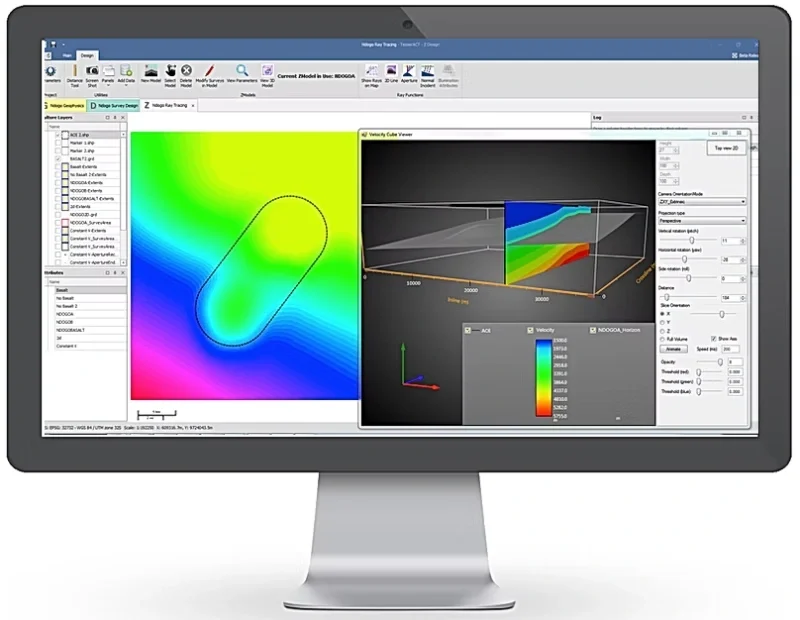
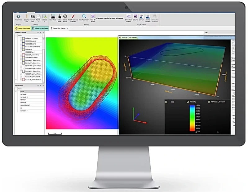
Z-Design is a TesserACT plug-in module to deliver 3D ray tracing tool built specially for the survey design geophysicist.
Z-Design is the result of a collaboration with Houston based Z-Terra Inc. Seamlessly integrated into TesserACT, Z-Design delivers fast, robust, interactive 3D ray tracing and visualization to TesserACT users. Features such as automated aperture calculation allow TesserACT users to deliver cost effective and rigorous survey designs in far less time than competing systems.
View Survey Design Express #16 to see how Z-Design can be used to optimize survey aperture.
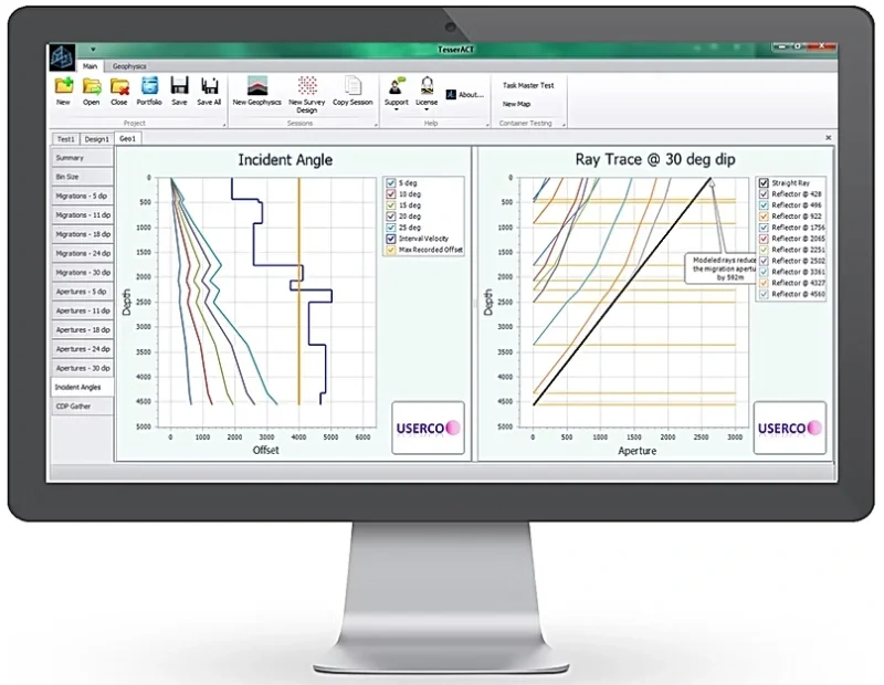
Real-world velocity assessment over simplified heuristics.
Exposing design weaknesses before mobilization.
Complementing legacy imaging with inversion stability.
Traditional survey design pre-dates modern Full Waveform Inversion. Featuring pioneering contributions by Dave Monk, ACTeQ assesses geometry against inversion physics to identify sampling gaps and offset requirements that legacy “rules of thumb” miss.

Founded in November 2016 by Damian Hite, Dr. Dave Monk and Dave Ridyard, with 2 “friends and family” investors. ACTeQ is a 100% virtual company. From day 1 we have operated as a fully virtual company. We were living the Zoom life before COVID made it cool!
ACTeQ developed TesserACT to integrate operational and geophysical analysis in a single software package, we can help you deliver improved imaging faster, cheaper, and safer than ever before.
In August of 2024 we sadly lost Dave Ridyard after a long fight with illness. He will be sorely missed, however Brandon Mattox had joined us in 2022 and had taken over many of Dave’s responsibilities. As of January 1, 2025 Brandon assumes the role of VP Sales and Marketing and becomes a partner in the company.